Gillespie Dam Bridge / Gillespie Dam
Lower Gila River, Arizona
Activity
Historic Outdoor Experience
Distance
0.4 mi round trip
Elevation gain
~20 ft
Route
Out-and-back / interpretive stop
The adventure
Walk into Arizona highway history on a steel truss that carried travelers across the Gila nearly a century ago.
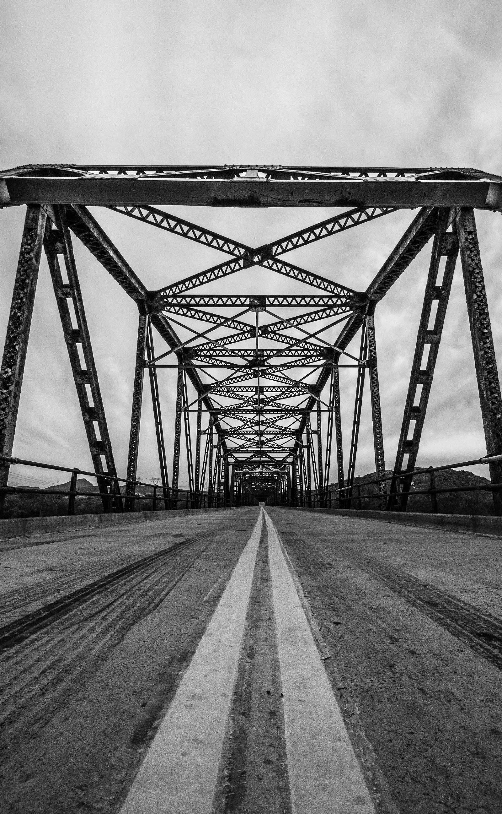
The 1,662-foot bridge opened in 1927 and later carried U.S. Route 80 across the Gila River. The bridge is listed on the National Register of Historic Places and was documented by the Historic American Engineering Record.
THE EXPERIENCE
Park at the interpretive pullout, get onto the historic crossing safely and make your way across enough of the bridge to experience the full steel-truss span over the Gila. Before leaving, locate the breached Gillespie Dam just upstream. Bridge plus broken dam earns the outing.
ONCE YOU’RE THERE
Park at the roadside interpretive area on Old US 80 near the bridge. Start from the parking side, use the visitor access carefully and stay alert for passing vehicles. Take in the truss structure and Gila River views, then locate the breached dam immediately upstream before returning to your vehicle.
GOOD TO KNOW
The river corridor can hold large numbers of water birds, especially in cooler months. Use the roadside interpretive parking area and explore from there. Traffic still uses the bridge.
FEES & ACCESS
No mandatory entrance, parking, access, permit, reservation, or similar fee is required to complete this Adventure as routed.
BEST TIME TO VISIT
Check seasonal weather, access and land-manager advisories before departure.
What to expect
- Walk the historic 1927 steel-truss crossing, take in the Gila River corridor and find the breached dam just upstream.
- Walk into Arizona highway history on a steel truss that carried travelers across the Gila nearly a century ago.
- The 1,662-foot bridge opened in 1927 and later carried U.S. Route 80 across the Gila River.
- The bridge is listed on the National Register of Historic Places and was documented by the Historic American Engineering Record.
Good to know
- 1927 Original
- The 1,662-foot bridge opened in 1927 and later carried U.S. Route 80 across the Gila River.
- Historic Landmark
- The bridge is listed on the National Register of Historic Places and was documented by the Historic American Engineering Record.
- River Life
- The river corridor can hold large numbers of water birds, especially in cooler months.
- Park First
- Use the roadside interpretive parking area and explore from there. Traffic still uses the bridge.
- Fee
- Free — no required entrance or parking fee.
- Entrance fee
- No mandatory entrance, parking, access, permit, reservation, or similar fee is required to complete this Adventure as routed.
- Dogs
- unknown.
- Season
- Check seasonal weather, access and land-manager advisories before departure.
Photos
More adventures nearby
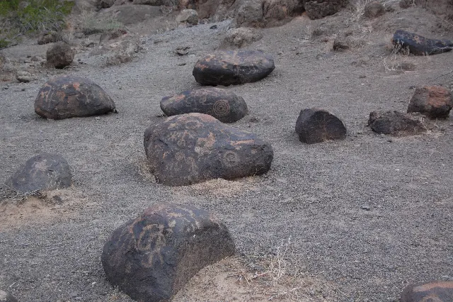
Painted Rock Petroglyph Site Day-Use Area · Gila Bend, Arizona
Painted Rock Petroglyph SiteHiking · Easy · ~21 mi away