Activity
Hiking
Distance
12 mi round trip
Elevation gain
~700 ft
Route
Out & back
The adventure
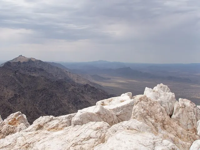
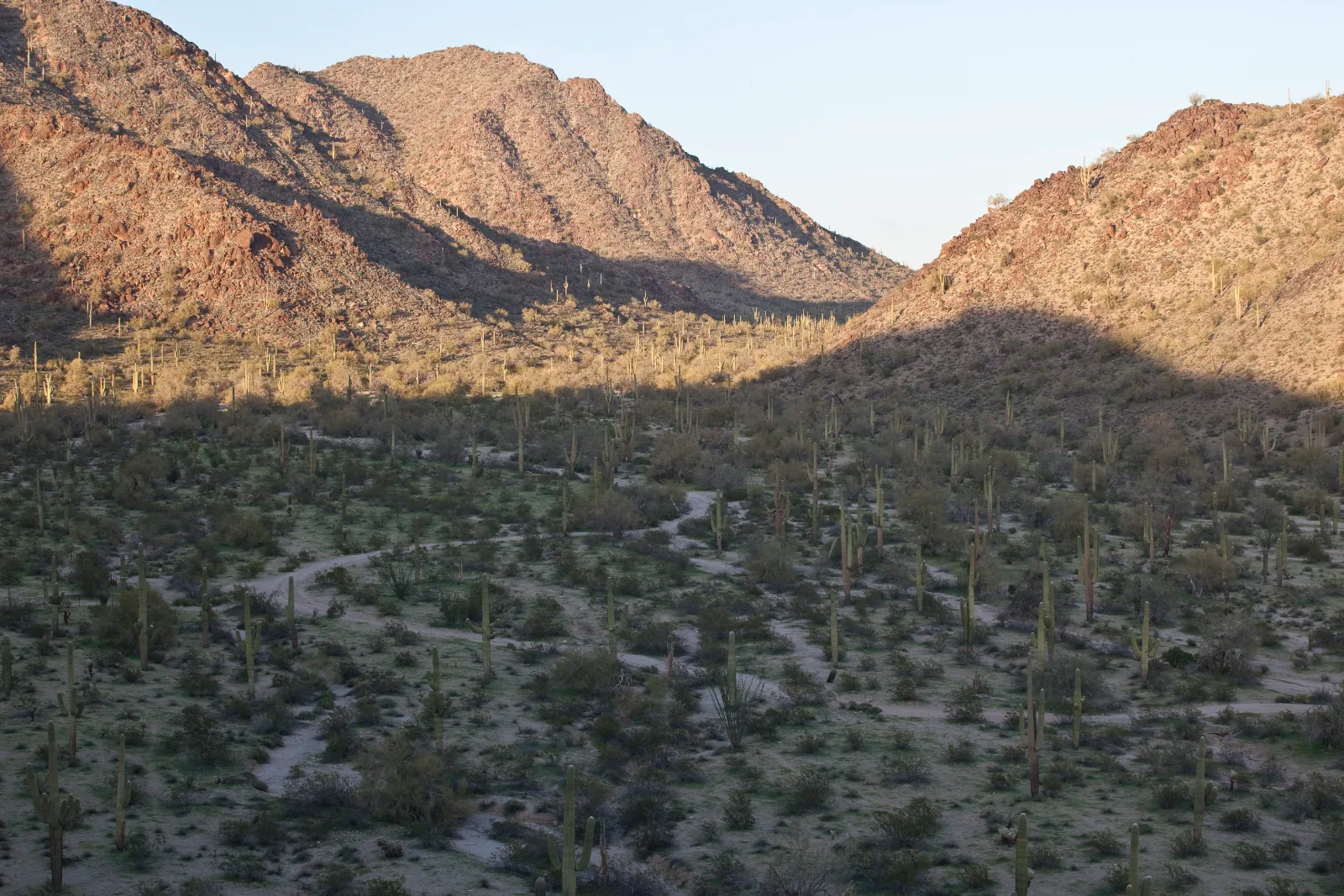
A remote wilderness route follows old tracks and unmarked desert washes through a huge saguaro landscape.
Visitor guidance recommends this route only for experienced hikers skilled with topographic maps. Bring all water you need; Visitor guidance recommends roughly one gallon per person per day for desert travel.
THE EXPERIENCE
Leave Brittlebush Trailhead, follow the former tracks and wide desert washes all the way to the Margies Cove Trail junction, then turn around and navigate the same remote six miles back. Reach the junction, find your way home.
ONCE YOU’RE THERE
From the Brittlebush Trailhead, follow the wilderness route north through former vehicle tracks and broad washes. There are no trail signs or directional markers, so carry offline navigation/topographic mapping and actively track your return route. Turn around at the Margies Cove Trail intersection and retrace the route to the trailhead.
GOOD TO KNOW
Cell phones do not work in many parts of the monument.
FEES & ACCESS
No mandatory entrance, parking, access, permit, reservation, or similar fee is required to complete this Adventure as routed.
BEST TIME TO VISIT
Check seasonal weather, access and land-manager advisories before departure.
What to expect
- Navigate Brittlebush Trail to its junction with Margies Cove Trail and return.
- A remote wilderness route follows old tracks and unmarked desert washes through a huge saguaro landscape.
- Visitor guidance recommends this route only for experienced hikers skilled with topographic maps.
- Bring all water you need; Visitor guidance recommends roughly one gallon per person per day for desert travel.
Good to know
- Navigation
- Visitor guidance recommends this route only for experienced hikers skilled with topographic maps.
- No Water
- Bring all water you need; Visitor guidance recommends roughly one gallon per person per day for desert travel.
- Remote
- Cell phones do not work in many parts of the monument.
- Fee
- Free — no required entrance or parking fee.
- Entrance fee
- No mandatory entrance, parking, access, permit, reservation, or similar fee is required to complete this Adventure as routed.
- Dogs
- unknown.
- Season
- Check seasonal weather, access and land-manager advisories before departure.
Photos
More adventures nearby
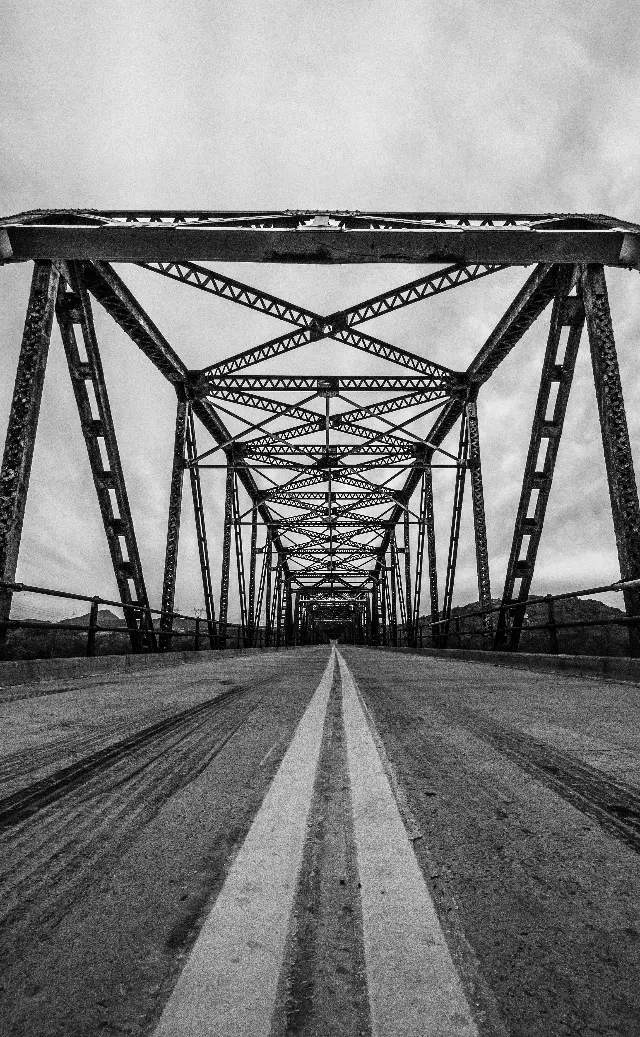
Gillespie Dam Bridge · Lower Gila River, Arizona
Gillespie Dam Bridge / Gillespie DamOther Adventures · Easy · ~22 mi away