
Trails at Jakes Rocks
Allegheny National Forest / Warren, Pennsylvania
Activity
Mountain Biking / Singletrack
Distance
4.8 mi round trip
Elevation gain
~500 ft
Route
Loop
The adventure
Ride a complete beginner-friendlier singletrack loop through the Jakes Rocks mountain-bike network. Ride the official Tuttletown–Coal Knob loop at Jakes Rocks—the gentler gateway into a 35-plus-mile Allegheny National Forest mountain-bike network.
This 4.8-mile loop adventure in Allegheny National Forest / Warren is best approached as a real outing, not simply a pin on a map. The experience centers on Trails at Jakes Rocks, with the route and stopping points chosen to make the defining features accessible from the documented public starting point. Allow time to enjoy the setting rather than racing through it.
GETTING THERE & STARTING OUT From Route 59 take Longhouse National Scenic Byway, turn onto Forest Road 492 and follow the Forest Service directions to the Jakes Rocks trailhead parking. Unload at the established trailhead and use the current network map/signage to ride the Tuttletown and Coal Knob segments as the 4.8-mile Tuttletown–Coal Knob loop. Stay off Blacksnake unless intentionally riding that separate one-way gravity trail. Return to the Jakes Rocks trailhead. Your documented starting point is Jakes Rocks Trailhead Parking. Use that access rather than navigating directly to a scenic feature, which may not have legal parking or a public approach. For driving navigation, the recorded destination is Jakes Rocks Trailhead, Forest Road 492, Warren, PA 16365.
THE ROUTE & WHAT TO EXPECT The recorded outing is approximately 4.8 miles with about 500 feet of elevation gain and is categorized as moderate effort. Along the way, key route elements include Tuttletown Trail, Coal Knob Trail, 4.8-mile official loop and forest singletrack. The recorded time allowance is 1–2 hours. The route information describes the intended experience, not a guarantee that every segment is signed or maintained. Use the land manager’s current map and posted instructions to make decisions at junctions.
WHAT MAKES THIS PLACE SPECIAL The Forest Service rates Tuttletown and Coal Knob among the network's Easiest trail segments. Tuttletown–Coal Knob forms an official 4.8-mile loop, enough riding to make this a real Challenge without forcing advanced terrain. Jakes Rocks contains more than 35 miles of networked trails ranging from gentle loops to a one-way gravity trail. The Forest Service lists the recreation site as no-fee and no-permit-required.
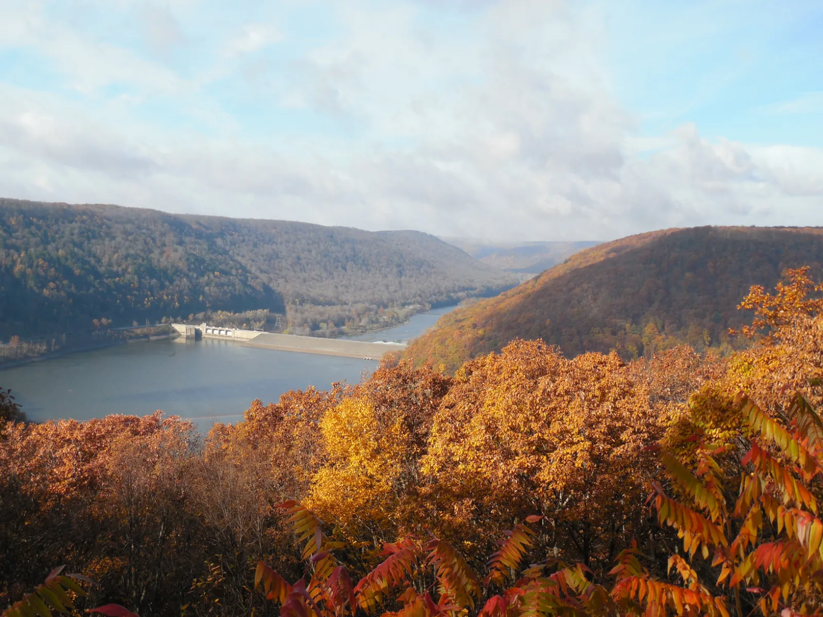
LOOK CLOSER After the ride, walk the hardened path to Jakes Rocks Overlook for the Allegheny Reservoir and Kinzua Dam view. The Jakes Rocks system ranges from easiest trails through most-difficult segments and a gravity trail. Nearby Jakes Rocks overlooks the Allegheny Reservoir and Kinzua Dam.
SEASON, CONDITIONS & SAFETY Forest Service lists January–December use; avoid damaging muddy trail surfaces and expect snow/ice in winter. Relevant hazards identified in the source research include roots, rocks, mud, other riders, wildlife, limited water. Before leaving, check forest orders, trail maintenance, mud closures/advisories, winter conditions. Dogs are recorded as allowed on leash; follow all posted rules and keep them controlled.
BEFORE YOU GO No permit is required for ordinary mountain biking; Forest Service explicitly lists no permit required. Forest Service explicitly lists Jakes Rocks Overlook and Mountain Bike Trail as a no-fee site. Check current hours, trail or tour availability, and on-site signs before traveling. Bring appropriate water, footwear and layers for the terrain and forecast. Respect closures, neighboring private land and any protected natural or historic features.
What to expect
- The recorded outing is approximately 4.8 miles with about 500 feet of elevation gain and is categorized as moderate effort. Along the way, key route elements include Tuttletown Trail, Coal Knob Trail, 4.8-mile official loop and forest singletrack. The recorded time allowance is 1–2 hours
- The Forest Service rates Tuttletown and Coal Knob among the network's Easiest trail segments
- Tuttletown–Coal Knob forms an official 4.8-mile loop, enough riding to make this a real Challenge without forcing advanced terrain
- Jakes Rocks contains more than 35 miles of networked trails ranging from gentle loops to a one-way gravity trail
Good to know
- ENTRY LOOP
- The Forest Service rates Tuttletown and Coal Knob among the network's Easiest trail segments.
- 4.8-MILE LOOP
- Tuttletown–Coal Knob forms an official 4.8-mile loop, enough riding to make this a real Challenge without forcing advanced terrain.
- BIG NETWORK
- Jakes Rocks contains more than 35 miles of networked trails ranging from gentle loops to a one-way gravity trail.
- FREE RIDE
- The Forest Service lists the recreation site as no-fee and no-permit-required.
- ADD THE OVERLOOK
- After the ride, walk the hardened path to Jakes Rocks Overlook for the Allegheny Reservoir and Kinzua Dam view.
- Dogs
- allowed-on-leash.
- Season
- Forest Service lists January–December use; avoid damaging muddy trail surfaces and expect snow/ice in winter.
Photos
More adventures nearby

Rimrock Overlook Upper · Allegheny National Forest, Pennsylvania
Rimrock Hiking Trail and OverlookHiking · Moderate · ~2 mi away
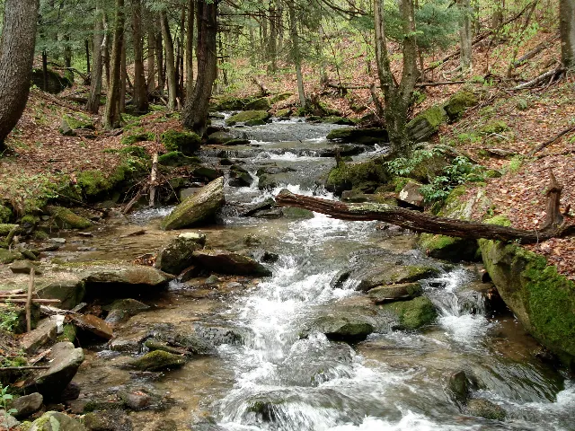
Minister Creek · Allegheny National Forest, Pennsylvania
Minister Creek Hiking TrailHiking · Hard · ~18 mi away
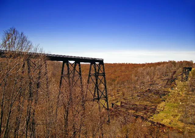
Kinzua Bridge State Park · Pennsylvania Wilds
Kinzua Bridge State Park — Kinzua Creek / Viaduct RuinsHiking · Moderate · ~21 mi away