
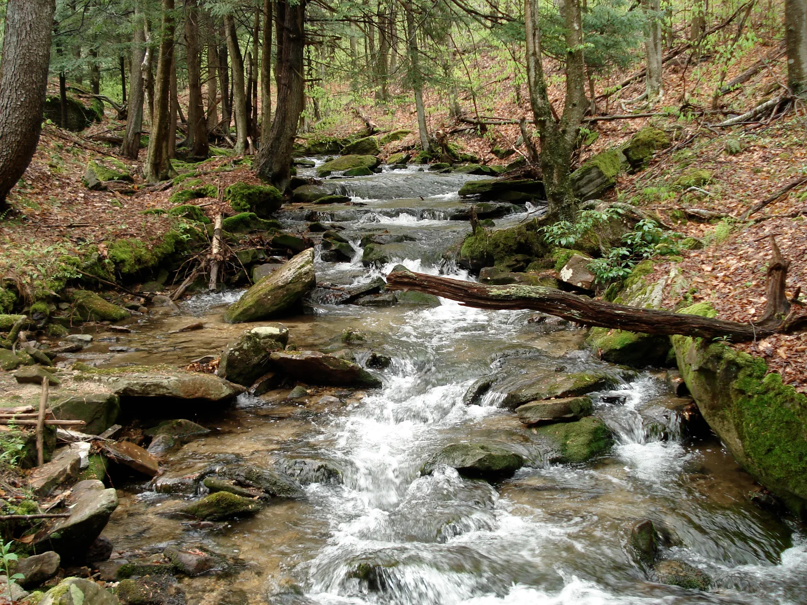
Minister Creek Hiking Trail
Allegheny National Forest / Sheffield, Pennsylvania
Activity
Hiking / Backcountry Loop
Distance
6.8 mi round trip
Elevation gain
~1100 ft
Route
Loop
The adventure
Complete a rugged forest loop through creek country, sandstone formations and the Allegheny plateau. Loop from a roadside creek into the Minister Creek Undeveloped Area, climb onto the plateau and share a stretch with the North Country National Scenic Trail.
This 6.8-mile loop adventure in Allegheny National Forest / Sheffield is best approached as a real outing, not simply a pin on a map. The experience centers on Minister Creek Hiking Trail, with the route and stopping points chosen to make the defining features accessible from the documented public starting point. Allow time to enjoy the setting rather than racing through it.
GETTING THERE & STARTING OUT Drive PA Route 666 southwest from Sheffield to the Minister Creek recreation area. The hiking trailhead parking is directly across SR 666 from Minister Creek Campground. Park in the trailhead lot rather than occupying a campsite. Follow the gray trail markers into the loop through the Minister Creek Undeveloped Area. On the northern section, pay attention where the route shares the blue-blazed North Country National Scenic Trail, then turn south with Minister Creek Trail and finish back at the same trailhead. Your documented starting point is Minister Creek Trailhead — SR 666. Use that access rather than navigating directly to a scenic feature, which may not have legal parking or a public approach. For driving navigation, the recorded destination is Minister Creek Campground and Trailhead, State Route 666, Sheffield, PA 16347.
THE ROUTE & WHAT TO EXPECT The recorded outing is approximately 6.8 miles with about 1100 feet of elevation gain and is categorized as strenuous effort. Along the way, key route elements include Minister Creek corridor, gray trail markers, plateau climb, rock formations, North Country Trail overlap and old logging grades. The recorded time allowance is 3.5–5 hours. The route information describes the intended experience, not a guarantee that every segment is signed or maintained. Use the land manager’s current map and posted instructions to make decisions at junctions.
WHAT MAKES THIS PLACE SPECIAL The Minister Creek loop begins directly across SR 666 from the tiny six-site campground. The route climbs from the creek to the plateau and joins the blue-blazed North Country National Scenic Trail on its northern segment. Forest Service material describes rock-city formations, old logging grades and older forest habitat along the route. Winter access is limited because trailhead parking is not plowed; cell service can also be limited to nonexistent.
LOOK CLOSER Watch for the blocky sandstone formations and tight rock passages that give the Minister Creek backcountry its personality. The loop joins the North Country National Scenic Trail along its northern segment. Parts of the trail use old railroad grades from the region's logging era.
SEASON, CONDITIONS & SAFETY Trail itself is generally available year-round, but winter access is limited because parking lots are not plowed. Relevant hazards identified in the source research include limited/no cell service, rocky footing, stream crossings/wet ground, ticks, winter access, backcountry navigation. Before leaving, check forest orders, trail maintenance, high water, winter road/parking conditions, storm damage. Dogs are recorded as allowed on leash; follow all posted rules and keep them controlled.
BEFORE YOU GO No hiking permit or reservation is required. Campground fees apply only if the member chooses to camp. Completing the hiking Challenge does not require occupying a campground site. The hiking trailhead is directly across SR 666 from the fee campground; no mandatory hiking permit or trail-use fee is identified for the loop. Check current hours, trail or tour availability, and on-site signs before traveling. Bring appropriate water, footwear and layers for the terrain and forecast. Respect closures, neighboring private land and any protected natural or historic features.
What to expect
- The recorded outing is approximately 6.8 miles with about 1100 feet of elevation gain and is categorized as strenuous effort. Along the way, key route elements include Minister Creek corridor, gray trail markers, plateau climb, rock formations, North Country Trail overlap and old logging grades. The recorded time allowance is 3.5–5 hours
- The Minister Creek loop begins directly across SR 666 from the tiny six-site campground
- The route climbs from the creek to the plateau and joins the blue-blazed North Country National Scenic Trail on its northern segment
- Forest Service material describes rock-city formations, old logging grades and older forest habitat along the route
Good to know
- REAL TRAILHEAD
- The Minister Creek loop begins directly across SR 666 from the tiny six-site campground.
- NORTH COUNTRY
- The route climbs from the creek to the plateau and joins the blue-blazed North Country National Scenic Trail on its northern segment.
- ROCK COUNTRY
- Forest Service material describes rock-city formations, old logging grades and older forest habitat along the route.
- BACKCOUNTRY
- Winter access is limited because trailhead parking is not plowed; cell service can also be limited to nonexistent.
- FIND THE ROCK CITY
- Watch for the blocky sandstone formations and tight rock passages that give the Minister Creek backcountry its personality.
- Dogs
- allowed-on-leash.
- Season
- Trail itself is generally available year-round, but winter access is limited because parking lots are not plowed.
Photos
More adventures nearby
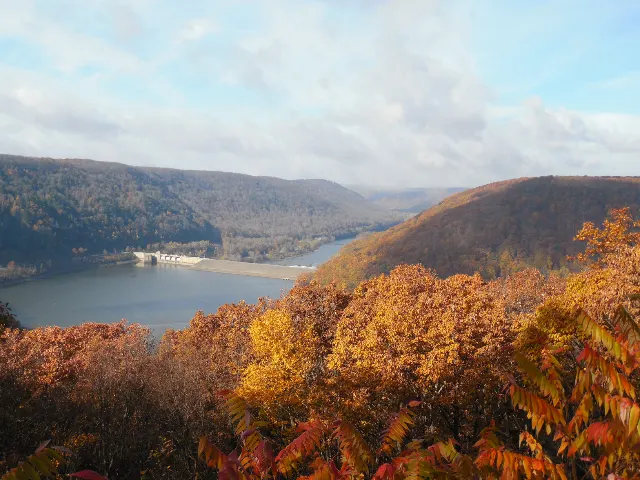
Jakes Rocks · Allegheny National Forest, Pennsylvania
Trails at Jakes RocksMountain Biking · Moderate · ~18 mi away
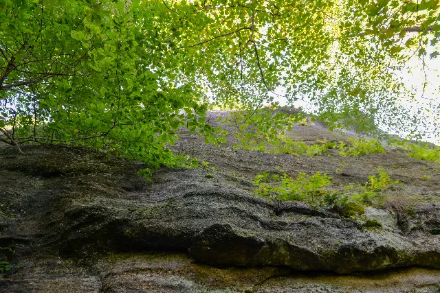
Rimrock Overlook Upper · Allegheny National Forest, Pennsylvania
Rimrock Hiking Trail and OverlookHiking · Moderate · ~19 mi away
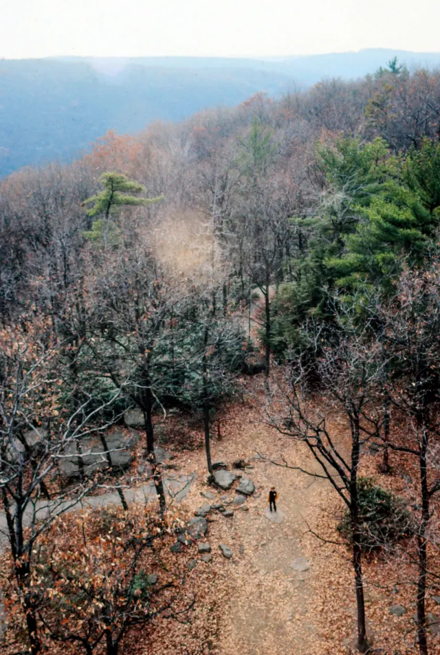
Cook Forest Fire Tower · Pennsylvania Wilds
Cook Forest State Park — Fire Tower #9 and Seneca PointHiking · Moderate · ~21 mi away