

Loop Maryland's Tallest Waterfall
Western Maryland / Garrett County, Maryland
Activity
Hiking / Waterfall
Difficulty
Moderate / rocky waterfall loop
Distance
1.25 mi round trip
Elevation gain
~220 ft
Duration
~1–1.5 hrs
Route
Loop
The adventure
Pack Maryland's highest free-falling waterfall, two more named falls and an old-growth forest into a 1¼-mile loop.
Step onto the Canyon Trail and follow the gorge through Swallow Falls' old-growth forest. Reach the 53-foot Muddy Creek Falls, continue the loop past the other named falls instead of turning around after the headline act, and return to the day-use trailhead.
Youghiogheny River gorge and old-growth eastern hemlock/white pine forest
What you'll do
Start at Swallow Falls State Park day-use parking and Canyon Trailhead, then follow the route about 1.25 miles round trip.
Expect rocky old-growth gorge trail with wet/slippery sections.
Expect roughly 220 ft of climbing along the way.
What you're looking at
- Swallow Falls was named for a rock pillar that once supported a colony of cliff swallows.
The story of the place
Thomas Edison, Henry Ford and Harvey Firestone camped beside Muddy Creek Falls in 1921 as part of their Vagabonds trips.
Once you're there
Enter at 2470 Maple Glade Road and use the designated day-use parking by the Canyon Trailhead. Follow the signed Canyon Trail loop on foot; it passes through the old-growth forest and links Muddy Creek Falls with Upper and Lower Swallow Falls.
Stay on the established trail and viewpoints, especially where spray, snow or ice makes rock slick. The loop returns to the same day-use area.
Don't miss
Between waterfalls, look up. Some eastern hemlocks and white pines in this protected grove are reported to be at least 360 years old.
Good to know
- Entrance fee
- Current Maryland State Park information lists a required day-use service charge: seasonal per-person or per-vehicle rates depending on date.
- Access
- Motor vehicles require day-use reservations on weekends and holidays from Memorial Day weekend through Labor Day under the current 2026 system; outside that window no advance day-use reservation is identified. Same-day online reservations may be possible when capacity remains.
- Best time to go
- Open year-round, but winter snow/ice and high water can materially change trail difficulty. Summer brings reservation requirements on weekends/holidays.
- Hours
- 8 a. m. to sunset year-round
- Fee pattern
- Seasonal per-person/per-vehicle day-use charges.
- Cell service
- Unreliable; park explicitly advises visitors not to rely on cell phones.
- Hazards
- Rushing water, slippery wet rocks, snow and ice, rugged footing
- Old growth
- Some trees are reported to be at least 360 years old.
- Dogs
- Seasonal exception is critical: pets are prohibited in the day-use area and Canyon Trail from the Saturday before Memorial Day through Labor Day; they are permitted there after Labor Day through the Friday before Memorial Day weekend and must remain leashed/controlled.
- 53-FOOT DROP
- Muddy Creek Falls drops 53 feet and is Maryland's highest free-falling waterfall.
- THREE-FALL COUNTRY
- The Canyon Trail also passes Upper and Lower Swallow Falls, so the headline waterfall is not the only payoff.
- PLAN THE ENTRY
- Summer weekends and holidays now require a motor-vehicle day-use reservation, and the park always charges a day-use service fee.
- Surface
- Natural forest trail, rock, roots and wet streamside footing
- Managed by
- Maryland Department of Natural Resources — Swallow Falls State Park.
Please respect the place
- Day-use service charge required
- Weekend/holiday motor-vehicle reservations required Memorial Day weekend through Labor Day under current park rules
- Pets are prohibited in the day-use area and Canyon Trail from Memorial Day weekend through Labor Day
- Canyon Trail is foot traffic only
- Wet weather, snow and ice can make rocks and trail surfaces hazardous
Photos
More adventures nearby
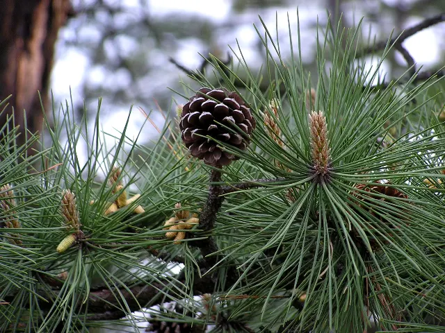
Big Bear Lake Trail Center · Northern Mountains, West Virginia
Big Bear Lake Trail Center Mountain BikingMountain Biking · Moderate · ~10 mi away
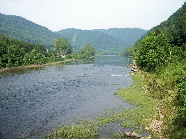
Rowlesburg town public riverside access · Preston County, West Virginia
Cheat River Rowlesburg Riverside WalkHiking · Easy · ~17 mi away
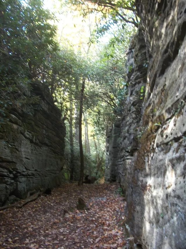
Coopers Rock State Forest main day-use area · Monongalia County, West Virginia
Castle Rock Trail Sandstone ScrambleHiking · Moderate · ~22 mi away