
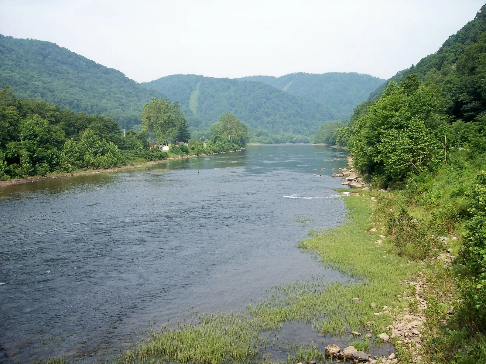
Cheat River Rowlesburg Riverside Walk
Preston County / Rowlesburg, West Virginia
Activity
Walking / River Scenery
Distance
1.5 mi round trip
Route
Out & back
The adventure
The Cheat River curls past the small mountain town of Rowlesburg, its green banks and rocky edges framed by wooded slopes. The river is a powerful presence here, changing from gentle-looking stretches to faster riffles depending on flow.
This outing trades remote wilderness for a relaxed river-town atmosphere. Historic railroad surroundings and the broad valley create a scenic backdrop for an easy walk and a chance to watch the current.
ONCE YOU’RE THERE
Begin from public park parking and follow available public riverside paths and sidewalks for a comfortable distance before returning. Route length is flexible rather than an official signed loop.
LOCAL INTEL
Rowlesburg is a useful access point for enjoying the Cheat River without attempting its challenging whitewater sections.
TRAIL CONDITIONS & SAFETY
Avoid steep or muddy riverbanks and respect private property boundaries.
FEES & ACCESS
No general trail admission fee is known; verify parking and activity charges.
BEST TIME TO VISIT
Spring through autumn; riverbanks can flood.
What to expect
- Walking
- Preston County
- Rowlesburg is a useful access point for enjoying the Cheat River without attempting its challenging whitewater sections.
Good to know
- Getting there
- Navigate to Rowlesburg Park or another clearly signed public riverside parking area in town. Use public streets and established park paths; avoid entering the water or walking onto private riverfront property.
- Local intel
- Rowlesburg is a useful access point for enjoying the Cheat River without attempting its challenging whitewater sections.
- Safety
- Avoid steep or muddy riverbanks and respect private property boundaries.
- Fee
- Free — no required entrance or parking fee.
- Dogs
- unknown.
- Season
- Spring through autumn; riverbanks can flood
Photos
More adventures nearby

Swallow Falls State Park day-use parking and Canyon · Western Maryland
Loop Maryland's Tallest WaterfallHiking · Moderate / rocky waterfall loop · ~17 mi away
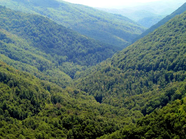
Lindy Point Trail signed · Allegheny Highlands, West Virginia
Lindy Point Trail Over Blackwater CanyonHiking · Easy · ~18 mi away
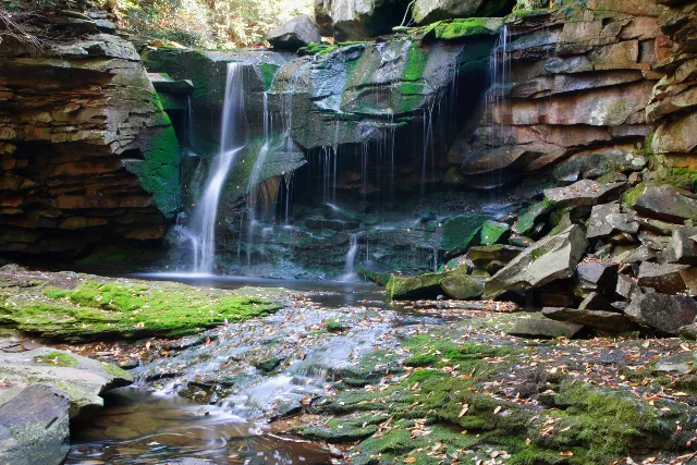
Blackwater Falls State Park Lodge · Allegheny Highlands, West Virginia
Elakala Falls TrailHiking · Moderate · ~19 mi away