Terry Badlands Scenic View
Terry Badlands / Eastern Montana, Montana
Activity
Scenic Drive / Short Walk
Distance
0.5 mi round trip
Elevation gain
~100 ft
Route
Out & back / overlook
The adventure
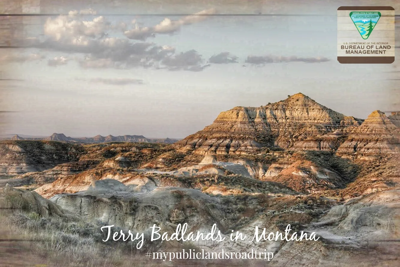
Eastern Montana’s prairie suddenly fractures at the Terry Badlands. Banded slopes, small spires and deeply cut gullies turn the horizon into a miniature maze of color and texture, best appreciated from a safe position above the formations.
The approach is part of the adventure: a remote dirt road leading to a roadside scenic viewpoint. The walk itself can be short, leaving more time to study the landforms, the unusual plant life and the sheer contrast with the grassland around them.
ONCE YOU’RE THERE From Terry cross the Yellowstone River on Highway 253, continue about 2.5 miles to Scenic View Road, turn west and follow the dirt road roughly six miles to Terry Scenic View. Pull completely off the travel lane where it is safe and visibility is good. Walk only on durable public ground near the overlook and stay back from unstable edges.
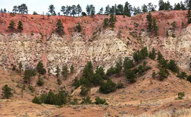
WHAT MAKES THIS PLACE SPECIAL Drive the north-side access to the rim, then walk out far enough to let eastern Montana turn into striped cliffs, gullies and improbable little spires. Wind and water carved colorful layers into buttes, spires, gullies and tabletops. One of the most easterly stands of limber pine occurs in the badlands.
DON’T MISS THIS Scan the landscape for petrified wood, but leave every piece exactly where you find it. Pronghorn, deer, raptors and horned lizards all use this landscape.
TRAIL CONDITIONS & SAFETY The old Milwaukee Bridge approach is closed; use Scenic View Road, avoid cliff edges and park entirely off the travel lane. The old Milwaukee Bridge route remains closed; Scenic View Road is the current practical approach.
BEFORE YOU GO Plan for about ~30–60 min and 0.5 miles of travel. Return to the established start without extending the outing beyond your conditions and preparation. Check local conditions and access notices before departure.
What to expect
- Wind and water carved colorful layers into buttes, spires, gullies and tabletops.
- One of the most easterly stands of limber pine occurs in the badlands.
- Pronghorn, deer, raptors and horned lizards all use this landscape.
- The old Milwaukee Bridge route remains closed; Scenic View Road is the current practical approach.
- Scan the landscape for petrified wood, but leave every piece exactly where you find it.
Good to know
- BANDED CLIFFS
- Wind and water carved colorful layers into buttes, spires, gullies and tabletops.
- LIMBER PINE OUTLIER
- One of the most easterly stands of limber pine occurs in the badlands.
- BADLANDS WILDLIFE
- Pronghorn, deer, raptors and horned lizards all use this landscape.
- USE THE NORTH ACCESS
- The old Milwaukee Bridge route remains closed; Scenic View Road is the current practical approach.
- Fee
- Free — no required entrance or parking fee.
- Entrance fee
- Current public-land recreation information identifies Terry Badlands access as fee-free public land; no required day-use or parking fee applies at Terry Scenic View.
- Dogs
- unknown.
- Season
- Check current site notices, weather, road conditions and seasonal restrictions before visiting.
Photos
More adventures nearby