
Lost Dutchman State Park — Siphon Draw Trail
Apache Junction / Superstition Mountains, Arizona
Activity
Hiking / Geology
Distance
4 mi round trip
Elevation gain
~1000 ft
Route
Out & back
The adventure
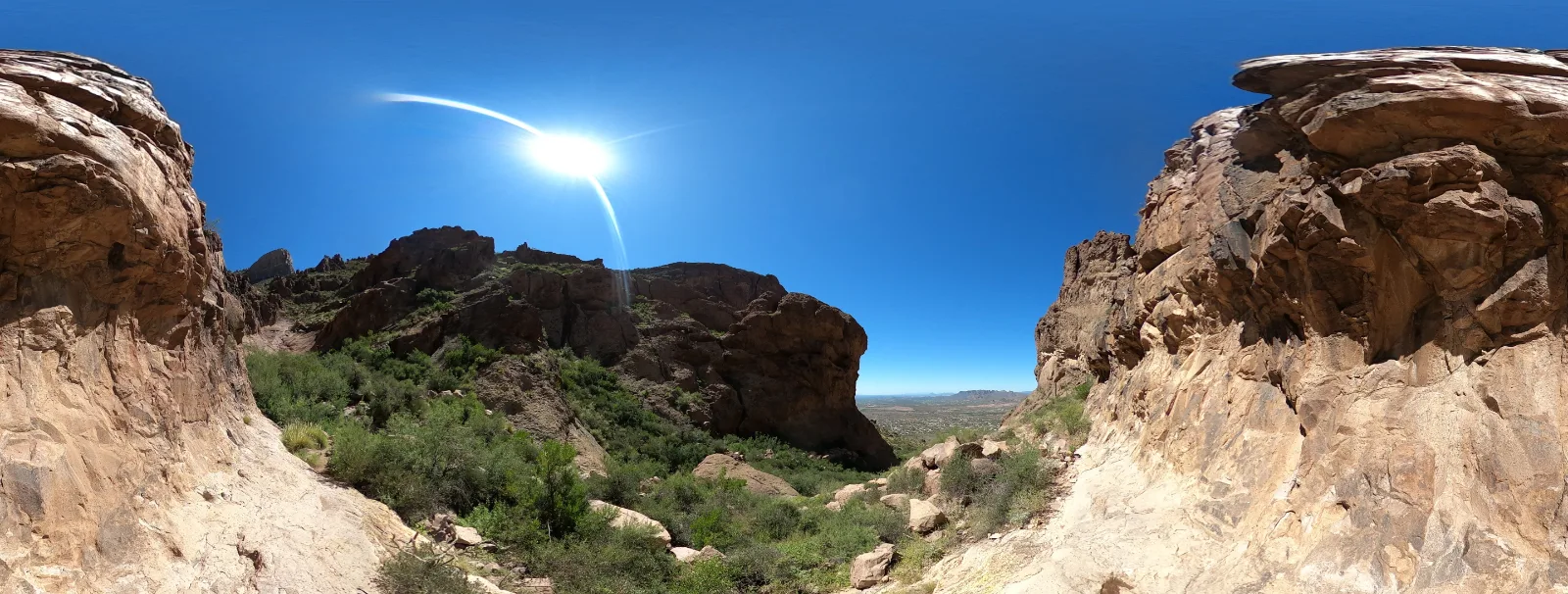
Walk toward the vertical face of the Superstitions and into a polished rock basin shaped by desert floods.
The mountain looks almost theatrical from the trailhead: a wall of volcanic cliffs rising behind the cactus plain. As the trail climbs, the open desert gives way to boulders, slickrock and the great concave stone bowl of Siphon Draw.
The draw itself is the destination for this outing; the notorious Flatiron scramble beyond is a substantially harder, separate objective. In wet periods the rock can be slick and running water can turn the basin into a dangerous funnel.
THE EXPERIENCE Walk toward the vertical face of the Superstitions and into a polished rock basin shaped by desert floods. The mountain looks almost theatrical from the trailhead: a wall of volcanic cliffs rising behind the cactus plain. As the trail climbs, the open desert gives way to boulders, slickrock and the great concave stone bowl of Siphon Draw. The route is worth taking slowly: stop at natural viewpoints, notice how the habitat changes, and let the destination itself set the pace.
ONCE YOU’RE THERE Enter Lost Dutchman State Park and use the signed Siphon Draw trailhead parking. Follow the established trail uphill through the lower desert and rocky drainage to the broad stone basin; turn around there rather than continuing onto the exposed Flatiron scramble.
WHAT MAKES THIS PLACE SPECIAL The draw itself is the destination for this outing; the notorious Flatiron scramble beyond is a substantially harder, separate objective. In wet periods the rock can be slick and running water can turn the basin into a dangerous funnel.
THE LANDSCAPE & WILDLIFE The mountain looks almost theatrical from the trailhead: a wall of volcanic cliffs rising behind the cactus plain. As the trail climbs, the open desert gives way to boulders, slickrock and the great concave stone bowl of Siphon Draw. Wildlife sightings vary with season, weather, and time of day; watch quietly from the trail and leave habitat undisturbed.
DON’T MISS THIS The draw itself is the destination for this outing; the notorious Flatiron scramble beyond is a substantially harder, separate objective. In wet periods the rock can be slick and running water can turn the basin into a dangerous funnel. Allow a few extra minutes for photographs and observation rather than treating this as a race to the turnaround point.
TRAIL CHARACTER & EFFORT This out & back adventure covers approximately 4 miles and involves about 1,000 feet of cumulative climbing. Allow roughly 2.5–4.5 hours depending on stops, weather and personal pace. Expect conditions to change after storms.
SMART ADVENTURE TIPS A state park vehicle entry fee applies. Footing becomes steep and loose, with short rocky steps. Avoid the draw during thunderstorms or when rain threatens upstream.
BEST TIME TO GO Late fall through early spring; spring wildflowers are possible after wet winters.
FEES & ACCESS Arizona state park day-use entrance fee applies; confirm current rates before travel.
MAKE THE MOST OF IT Arrive with enough daylight to finish comfortably, download an offline map, and carry out everything you bring. The draw itself is the destination for this outing; the notorious Flatiron scramble beyond is a substantially harder, separate objective. In wet periods the rock can be slick and running water can turn the basin into a dangerous funnel.
What to expect
- Walk toward the vertical face of the Superstitions and into a polished rock basin shaped by desert floods.
- The mountain looks almost theatrical from the trailhead: a wall of volcanic cliffs rising behind the cactus plain. As the trail climbs, the open desert gives way to boulders, slickrock and the great concave stone bowl of Siphon Draw.
- The draw itself is the destination for this outing; the notorious Flatiron scramble beyond is a substantially harder, separate objective. In wet periods the rock can be slick and running water can turn the basin into a dangerous funnel.
- Enter Lost Dutchman State Park and use the signed Siphon Draw trailhead parking. Follow the established trail uphill through the lower desert and rocky drainage to the broad stone basin; turn around there rather than continuing onto the exposed Flatiron scramble.
Good to know
- Route & Distance
- 4 miles, approximately 1,000 feet of climbing; plan 2.5–4.5 hours.
- Access
- Enter Lost Dutchman State Park and use the signed Siphon Draw trailhead parking. Follow the established trail uphill through the lower desert and rocky drainage to the broad stone basin; turn around there rather than continuing onto the exposed Flatiron scramble.
- Know Before You Go
- A state park vehicle entry fee applies. Footing becomes steep and loose, with short rocky steps. Avoid the draw during thunderstorms or when rain threatens upstream.
- Best Season
- Late fall through early spring; spring wildflowers are possible after wet winters.
- Why Go
- The draw itself is the destination for this outing; the notorious Flatiron scramble beyond is a substantially harder, separate objective. In wet periods the rock can be slick and running water can turn the basin into a dangerous funnel.
- Fee
- Required: Arizona state park day-use entrance fee applies; confirm current rates before travel.
- Entrance fee
- Arizona state park day-use entrance fee applies; confirm current rates before travel.
- Dogs
- allowed-on-leash.
- Season
- Late fall through early spring; spring wildflowers are possible after wet winters.
Photos
More adventures nearby
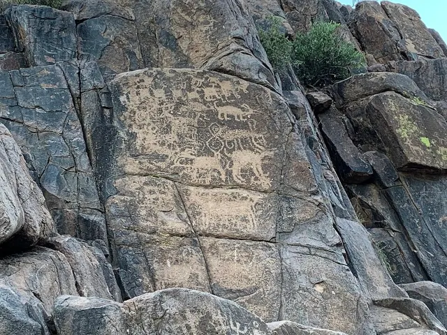
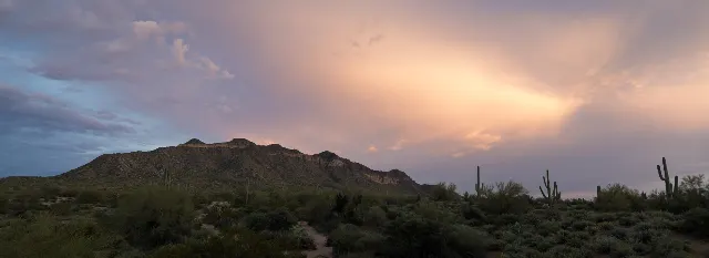
Wind Cave Trailhead inside Usery Mountain Regional Park · Mesa, Arizona
Usery Mountain Regional Park — Wind Cave TrailHiking · Moderate · ~7 mi away
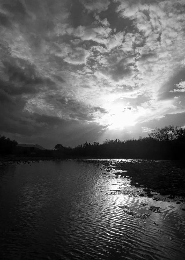
Water Users Recreation Site · Mesa, Arizona
Lower Salt River — Water Users to Granite Reef PaddleKayaking & Paddling · Moderate · ~8 mi away