
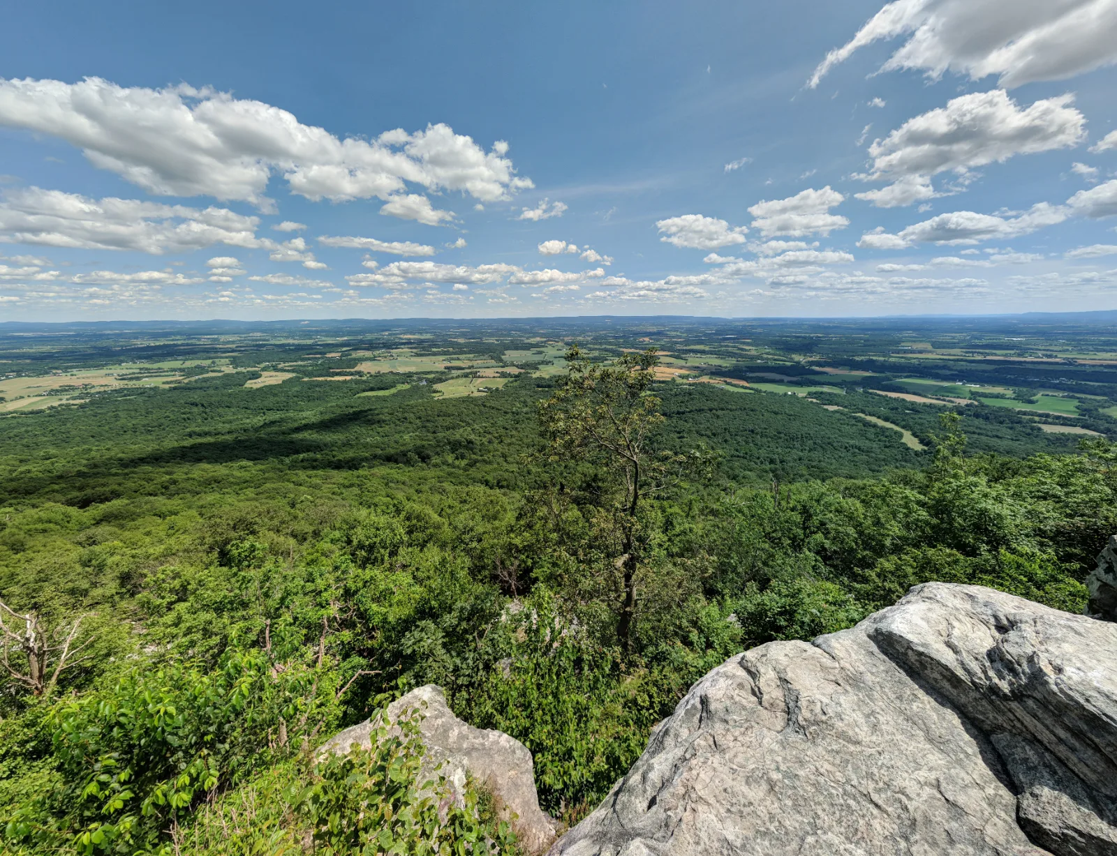
Colonel Denning State Park — Flat Rock Trail
Cumberland Valley / Newville, Pennsylvania
Activity
Hiking / Mountain Overlook
Distance
5 mi round trip
Elevation gain
~1400 ft
Route
Out & back
The adventure
Climb five steep, rocky miles round trip to a natural Blue Mountain ledge above the Cumberland Valley. Climb steeply from Doubling Gap to the top of Blue Mountain and step onto Flat Rock for a wide-open view across the Cumberland Valley.
This 5-mile out & back adventure in Cumberland Valley / Newville is best approached as a real outing, not simply a pin on a map. The experience centers on Colonel Denning State Park — Flat Rock Trail, with the route and stopping points chosen to make the defining features accessible from the documented public starting point. Allow time to enjoy the setting rather than racing through it.
GETTING THERE & STARTING OUT Enter Colonel Denning State Park from PA 233 and use the large day-use parking near the nature-center/pavilion area. Cross the small bridge and locate the yellow-blazed Flat Rock Trail. Stay on yellow as the trail climbs steeply through the park and into Tuscarora State Forest. Continue to the signed Flat Rock outcrop, remain well back from unsafe edges, then retrace the same yellow-blazed route to the park. Your documented starting point is Colonel Denning State Park Flat Rock Trail Parking. Use that access rather than navigating directly to a scenic feature, which may not have legal parking or a public approach. For driving navigation, the recorded destination is Colonel Denning State Park, 1599 Doubling Gap Rd, Newville, PA 17241.
THE ROUTE & WHAT TO EXPECT The recorded outing is approximately 5 miles with about 1400 feet of elevation gain and is categorized as strenuous effort. The recorded time allowance is 3–4 hours. The route information describes the intended experience, not a guarantee that every segment is signed or maintained. Use the land manager’s current map and posted instructions to make decisions at junctions.
WHAT MAKES THIS PLACE SPECIAL Pennsylvania rates Flat Rock Trail Most Difficult, and the official route is 2.5 miles each way. The trail climbs from Colonel Denning State Park into surrounding Tuscarora State Forest. Flat Rock is a natural outcrop on Blue Mountain overlooking the Cumberland Valley. The climb is steep and rocky enough that the five-mile mileage badly understates the effort.
LOOK CLOSER Near the ridge, notice where your route meets the long-distance Tuscarora Trail. Flat Rock is only your turnaround; that trail has much bigger plans.
SEASON, CONDITIONS & SAFETY The park is open year-round, but snow, ice, wet rock and hunting-season activity on adjoining state forest land can materially change conditions. Relevant hazards identified in the source research include steep rocky climb, exposed overlook, wet rock, winter ice, limited cell service. Before leaving, check temporary closures, storm damage, snow or ice, parking availability, posted land-manager advisories. Dogs are recorded as allowed on leash; follow all posted rules and keep them controlled.
BEFORE YOU GO No permit or reservation is required for ordinary individual day use. Pennsylvania state parks charge no entrance or day-use fee; no hiking fee is identified for Flat Rock Trail. Check current hours, trail or tour availability, and on-site signs before traveling. Bring appropriate water, footwear and layers for the terrain and forecast. Respect closures, neighboring private land and any protected natural or historic features.
What to expect
- The recorded outing is approximately 5 miles with about 1400 feet of elevation gain and is categorized as strenuous effort. The recorded time allowance is 3–4 hours
- Pennsylvania rates Flat Rock Trail Most Difficult, and the official route is 2.5 miles each way
- The trail climbs from Colonel Denning State Park into surrounding Tuscarora State Forest
- Flat Rock is a natural outcrop on Blue Mountain overlooking the Cumberland Valley
Good to know
- MOST DIFFICULT
- Pennsylvania rates Flat Rock Trail Most Difficult, and the official route is 2.5 miles each way.
- TWO PUBLIC LANDS
- The trail climbs from Colonel Denning State Park into surrounding Tuscarora State Forest.
- BIG PAYOFF
- Flat Rock is a natural outcrop on Blue Mountain overlooking the Cumberland Valley.
- EARN THE VIEW
- The climb is steep and rocky enough that the five-mile mileage badly understates the effort.
- FIND THE TUSCARORA CONNECTION
- Near the ridge, notice where your route meets the long-distance Tuscarora Trail. Flat Rock is only your turnaround; that trail has much bigger plans.
- Dogs
- allowed-on-leash.
- Season
- The park is open year-round, but snow, ice, wet rock and hunting-season activity on adjoining state forest land can materially change conditions.
Photos
More adventures nearby
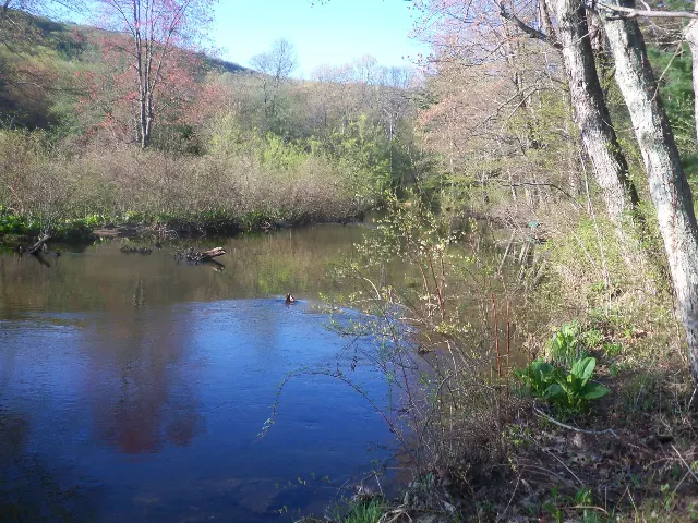
Pole Steeple Trail · South Mountain, Pennsylvania
Pole Steeple Trail — Michaux State ForestHiking · Moderate · ~18 mi away
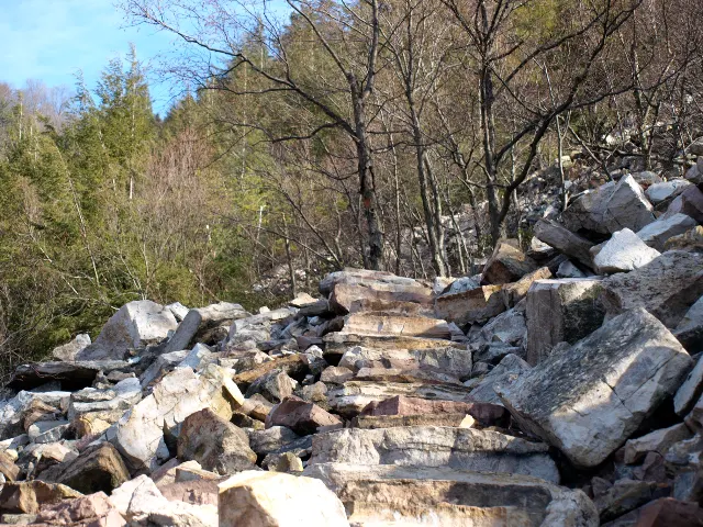
State Game Lands 112 Thousand Steps · Juniata Valley, Pennsylvania
Jacks Narrows — Thousand StepsHiking · Hard · ~27 mi away
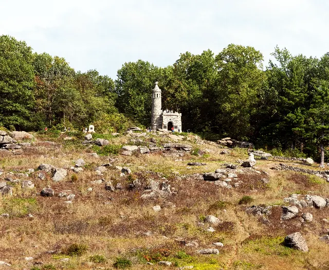
Wheatfield Road · South-Central Pennsylvania
Gettysburg National Military Park — Little Round TopHiking · Moderate · ~35 mi away