
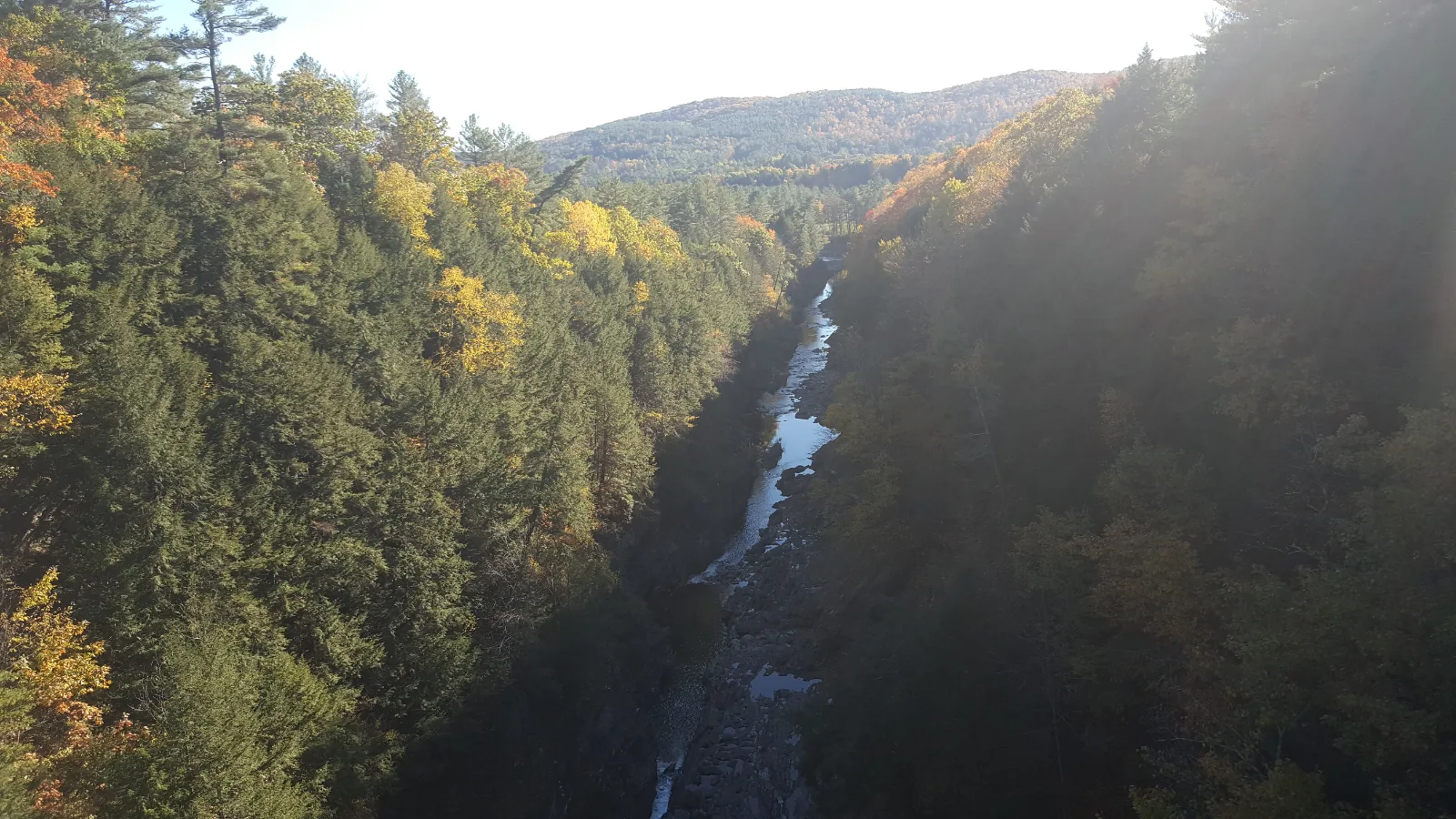
Quechee Gorge Trail — bridge to gorge bottom
Upper Valley / Quechee, Vermont
Activity
Hiking / Gorge
Distance
1 mi round trip
Elevation gain
~165 ft
Route
Out & back
The adventure
Look 165 feet into Vermont's deepest gorge, then leave the railing behind and hike down toward the river. Start beside the Route 4 bridge and descend into Vermont's deepest gorge before climbing back out.
Start from the public parking beside the Quechee Gorge Bridge, take in the view from above, then follow the gorge trail down toward the Ottauquechee River. Reach the lower gorge area, look back up at the 165-foot walls and bridge, climb back to your starting point and.
What to expect
- Start beside the Route 4 bridge and descend into Vermont's deepest gorge before climbing back out.
- Start from the public parking beside the Quechee Gorge Bridge, take in the view from above, then follow the gorge trail down toward the Ottauquechee River. Reach the lower gorge area, look back up at the 165-foot walls and bridge, climb back to your starting point and.
Good to know
- 165 FEET DOWN
- The Ottauquechee River runs roughly 165 feet below the Route 4 bridge viewpoints.
- GLACIAL WORK
- The gorge landscape was shaped by glacial processes roughly 13,000 years ago.
- RAILROAD ROOTS
- The bridge began life as a railway bridge in 1911 before being converted for road traffic decades later.
- SHORT DOESN'T MEAN FLAT
- Wet leaves, rock and winter ice can make the descent much more serious than the one-mile distance suggests.
- Fee
- Free — no required entrance or parking fee.
- Dogs
- allowed-on-leash.
- Season
- Bridge viewing remains available beyond the main operating season, but snow and ice can make the gorge descent hazardous or unsuitable.
Photos