
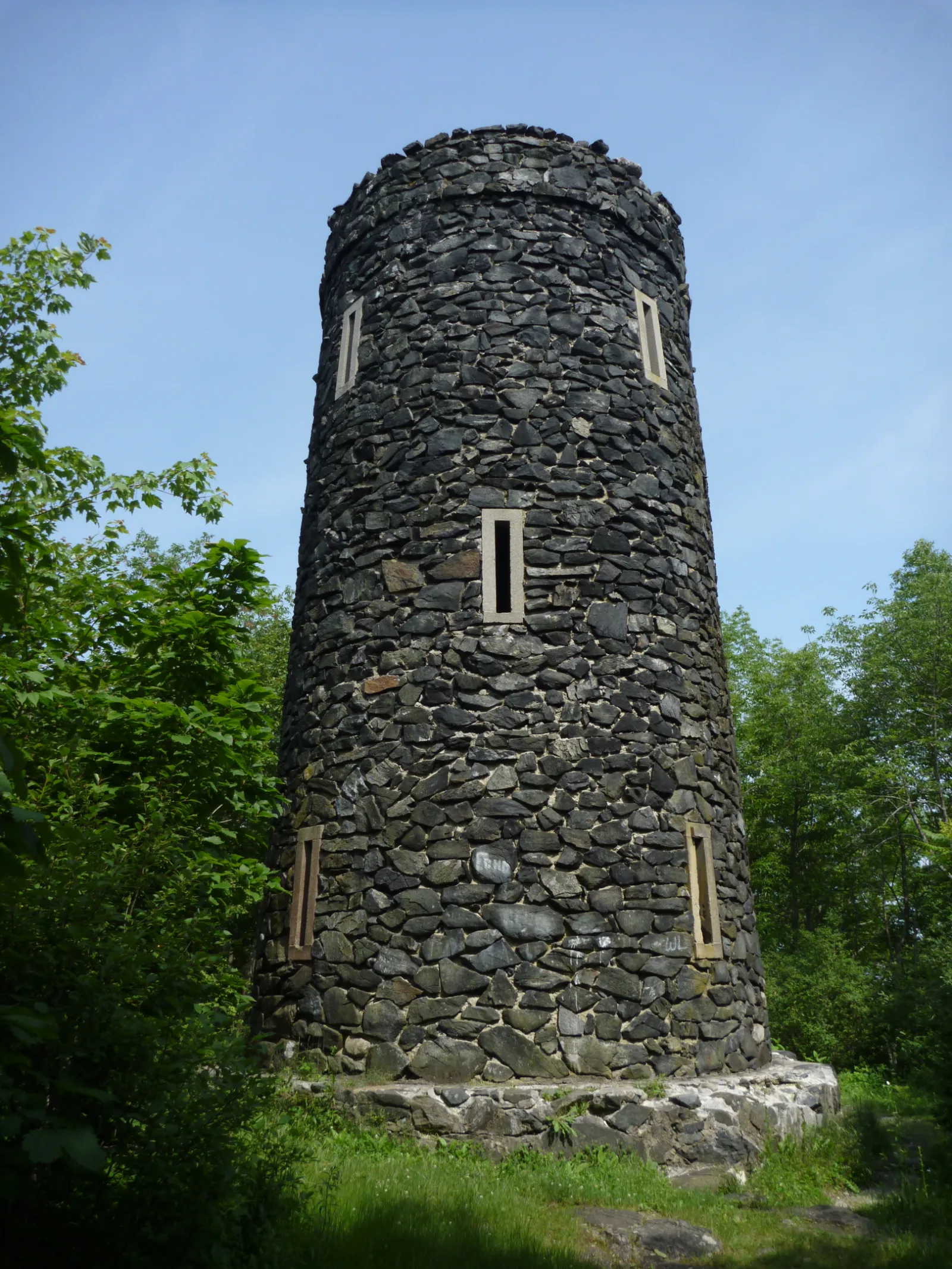
Mount Tom State Park — Mount Tom Tower
Litchfield Hills / Litchfield, Connecticut
Activity
Hiking / Observation Tower
Distance
1 mi round trip
Elevation gain
~400 ft
Route
Yellow-blazed loop
The adventure
Take a compact summit hike to a 1921 stone tower with one of northwest Connecticut's broadest views. Hike the short yellow loop to Mount Tom's 1,325-foot summit, then climb a 34-foot stone tower for the full three-state horizon.
Start from the day-use area near Mount Tom Pond and find the yellow-blazed tower trail. Climb the wooded slope to the 1,325-foot summit, reach the black-gneiss observation tower, climb its stone stairs to the top platform, take in the full panorama, complete the yellow loop back to the picnic area.
What to expect
- Hike the short yellow loop to Mount Tom's 1,325-foot summit, then climb a 34-foot stone tower for the full three-state horizon.
- Use the established Mount Tom State Park day-use parking off Route 202 and walk to the small picnic area south of the entrance road. Begin on the yellow trail and stay with the yellow blazes at the early branch. Continue uphill through the gneiss outcrops to the summit and tower. Climb the tower, then continue on the opposite side of the yellow loop to return to the picnic/day-use area and parking.
Good to know
- CONNECTICUT'S MT. TOM
- Mount Tom's summit reaches 1,325 feet, making it 125 feet higher than the Massachusetts mountain with the same name.
- 1921 TOWER
- The 34-foot black-gneiss tower dates to 1921 and is listed on the National Register of Historic Places.
- BIG HORIZON
- On clear days the summit panorama reaches toward Massachusetts, New York and Long Island Sound.
- SHORT CLIMB
- The yellow trail is uphill almost the entire way, but the state describes the grade as generally not very steep.
- FIND THE QUARTZ VEIN
- The tower gets the glory, but the yellow trail crosses exposed gneiss, schist and a quartz vein on the way up. Your geology bonus is hiding under your boots.
- Fee
- Required: Parking is free for Connecticut-registered vehicles, but Connecticut currently charges out-of-state vehicles $10 weekdays and $15 weekends/holidays. Because the routed arrival uses park parking and Blister Bound serves a national audience, a required fee can apply.
- Entrance fee
- Parking is free for Connecticut-registered vehicles, but Connecticut currently charges out-of-state vehicles $10 weekdays and $15 weekends/holidays.
- Dogs
- allowed-on-leash.
- Season
- The park is open daily year-round, while winter snow and ice can make the summit trail and tower stairs more difficult.
Photos
More adventures nearby
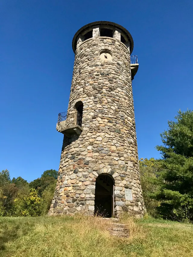
Camp Columbia Route 109 Public · Litchfield Hills, Connecticut
Camp Columbia State Park and State Forest — Class of 1906 TowerHiking · Easy · ~4 mi away
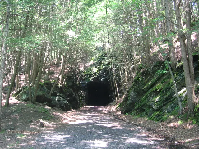
Steep Rock Preserve Main Parking Area beside the riding ring · Litchfield Hills, Connecticut
Steep Rock Preserve — Shepaug Railroad TunnelHiking · Easy · ~6 mi away
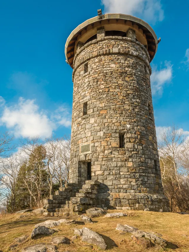
Haystack Mountain State Park Route 272 Lower · Northwest Hills, Connecticut
Haystack Mountain State Park — Haystack Mountain TowerHiking · Moderate · ~19 mi away