
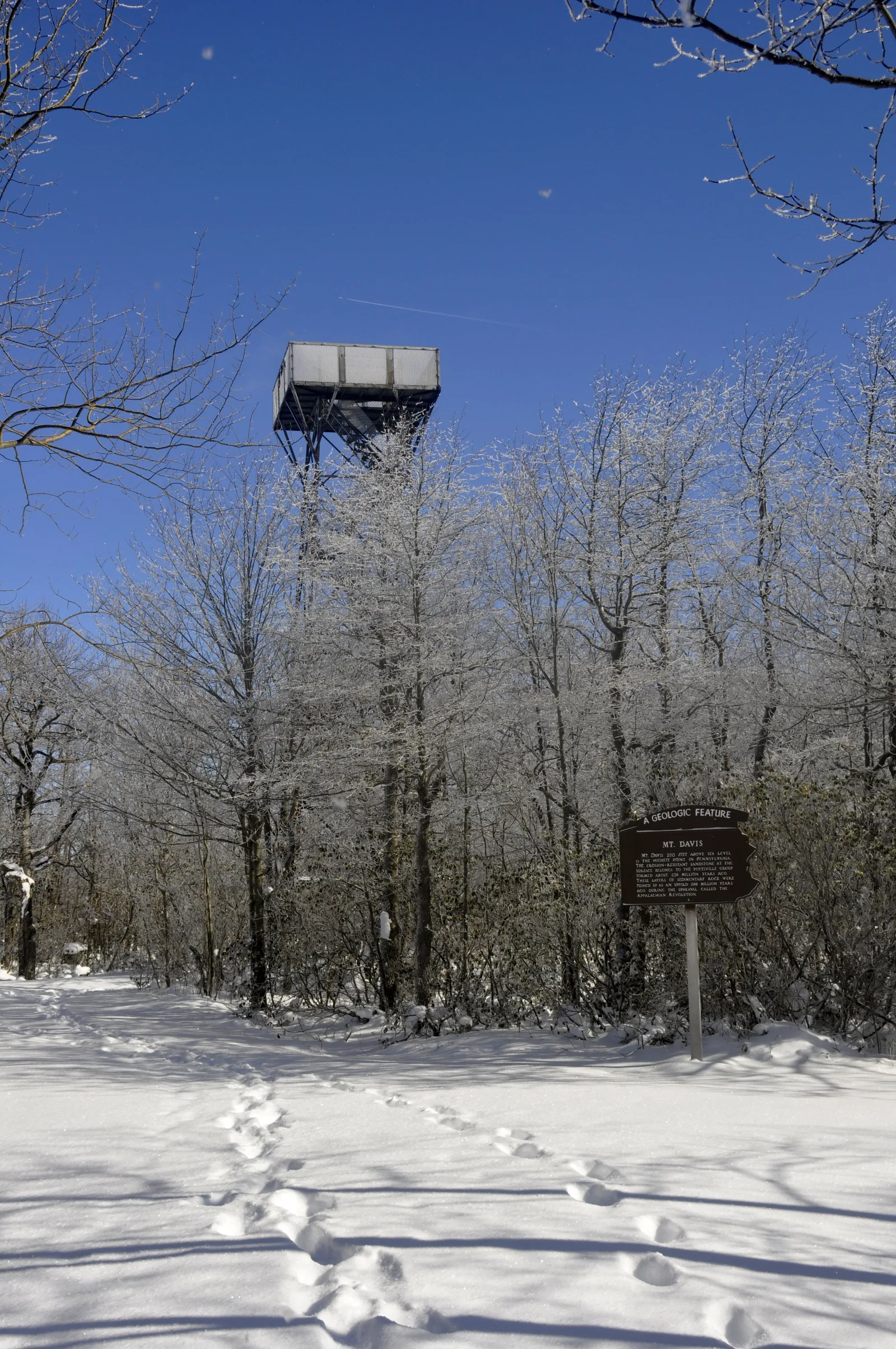
Forbes State Forest — Mount Davis Natural Area
Laurel Highlands / Salisbury, Pennsylvania
Activity
Hiking / State High Point
Distance
2 mi round trip
Elevation gain
~250 ft
Route
Out & back
The adventure
Walk from the picnic area to Pennsylvania's 3,213-foot high point and its observation tower. Hike from the Mount Davis Picnic Area to 3,213 feet—the highest natural point in Pennsylvania—and climb the summit observation tower.
This 2-mile out & back adventure in Laurel Highlands / Salisbury is best approached as a real outing, not simply a pin on a map. The experience centers on Forbes State Forest — Mount Davis Natural Area, with the route and stopping points chosen to make the defining features accessible from the documented public starting point. Allow time to enjoy the setting rather than racing through it.
GETTING THERE & STARTING OUT Drive Mount Davis Road to the signed Mount Davis Picnic Area and park in the established lot. Begin from the picnic area and follow the mapped trail connection toward the Mount Davis high point. At the summit area, locate the high-point marker and observation tower. After visiting the summit and tower, retrace the same route to the picnic area rather than finishing at the summit-road parking. Your documented starting point is Mount Davis State Forest Picnic Area. Use that access rather than navigating directly to a scenic feature, which may not have legal parking or a public approach. For driving navigation, the recorded destination is Mount Davis Picnic Area, Mount Davis Rd, Salisbury, PA 15558.
THE ROUTE & WHAT TO EXPECT The recorded outing is approximately 2 miles with about 250 feet of elevation gain and is categorized as moderate effort. The recorded time allowance is 1–2 hours. The route information describes the intended experience, not a guarantee that every segment is signed or maintained. Use the land manager’s current map and posted instructions to make decisions at junctions.
WHAT MAKES THIS PLACE SPECIAL Mount Davis reaches 3,213 feet, the highest natural elevation in Pennsylvania. The summit observation tower provides a 360-degree view above the wooded high point. Frost has been recorded here during every month of the year. DCNR's own high-point hike uses the picnic area for an approximately two-mile round trip to the summit.
LOOK CLOSER The benchmark makes you a Pennsylvania highpointer. The observation tower gives you the view the wooded summit itself keeps hiding. Frost has been observed during every month of the year. 3,213 feet — Pennsylvania's highest point.
SEASON, CONDITIONS & SAFETY Mount Davis is accessible year-round, but DCNR documents extreme high-elevation weather, frost in every month and deep winter snow. Relevant hazards identified in the source research include rapid weather changes, snow, ice, tower stairs. Before leaving, check temporary closures, storm damage, snow or ice, parking availability. Dogs are recorded as allowed on leash; follow all posted rules and keep them controlled.
BEFORE YOU GO No permit or reservation is required for ordinary individual day use of this routed outing. Pennsylvania state forest day-use access to Mount Davis is free; no hiking or summit fee is identified. Check current hours, trail or tour availability, and on-site signs before traveling. Bring appropriate water, footwear and layers for the terrain and forecast. Respect closures, neighboring private land and any protected natural or historic features.
What to expect
- The recorded outing is approximately 2 miles with about 250 feet of elevation gain and is categorized as moderate effort. The recorded time allowance is 1–2 hours
- Mount Davis reaches 3,213 feet, the highest natural elevation in Pennsylvania
- The summit observation tower provides a 360-degree view above the wooded high point
- Frost has been recorded here during every month of the year
Good to know
- STATE HIGH POINT
- Mount Davis reaches 3,213 feet, the highest natural elevation in Pennsylvania.
- CLIMB HIGHER
- The summit observation tower provides a 360-degree view above the wooded high point.
- HIGH-COUNTRY WEATHER
- Frost has been recorded here during every month of the year.
- EARN IT ON FOOT
- DCNR's own high-point hike uses the picnic area for an approximately two-mile round trip to the summit.
- CLIMB THE TOWER TOO
- The benchmark makes you a Pennsylvania highpointer. The observation tower gives you the view the wooded summit itself keeps hiding.
- Dogs
- allowed-on-leash.
- Season
- Mount Davis is accessible year-round, but DCNR documents extreme high-elevation weather, frost in every month and deep winter snow.
Photos
More adventures nearby
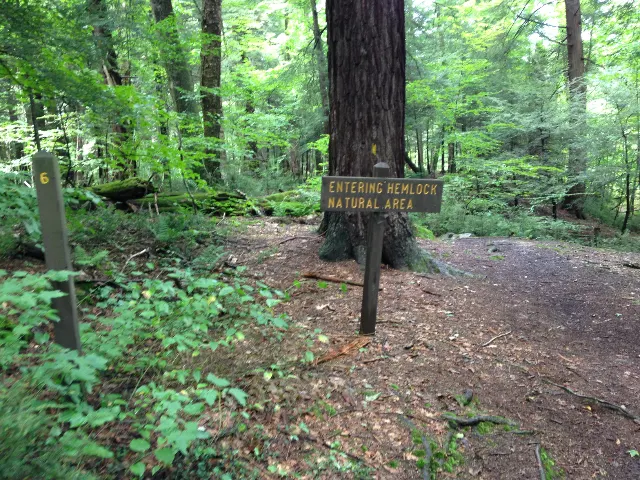
Laurel Hill Hemlock Trail Parking along Laurel Hill Park Road · Laurel Highlands, Pennsylvania
Laurel Hill State Park — Hemlock Trail Natural AreaHiking · Moderate · ~15 mi away
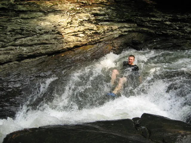
Meadow Run Natural Waterslides · Laurel Highlands, Pennsylvania
Ohiopyle State Park — Meadow Run Natural WaterslidesHiking · Easy · ~18 mi away
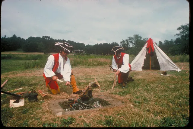
Fort Necessity National Battlefield · Laurel Highlands, Pennsylvania
Fort Necessity National Battlefield — Great Meadows and Forest TrailsHiking · Easy · ~23 mi away