

Follow Lawrence Brook Through Doane's Falls
North Quabbin / Royalston, Massachusetts
Activity
Hiking / Waterfall
Difficulty
Moderate / strenuous in short sections
Distance
1 mi round trip
Elevation gain
~180 ft
Duration
~1–1.5 hrs
Route
Out & back
The adventure
Walk beside Lawrence Brook as it breaks into a chain of roaring cascades on its way toward Tully Lake.
Start beside the stone-bridge end of Lawrence Brook and descend the marked trail as the water changes from stream to cascade to full waterfall.
Sensitive Lawrence Brook riverbank and wooded waterfall gorge
What you'll do
Start at Doane's Falls upper parking area on Athol Road, then follow the route about 1 miles round trip.
Expect moderate woodland walking with strenuous sections beside steep waterfall terrain.
Expect roughly 180 ft of climbing along the way.
What you're looking at
- Lawrence Brook continues toward Tully Lake.
The story of the place
Amos Doane built a mill more than four stories tall above the falls; multiple earlier mills also operated here.
Once you're there
Use the tiny signed Trustees parking area on Athol Road near the stone bridge; if it is full, do not invent roadside parking. Enter the marked trail and follow the west side of Lawrence Brook downhill through the signed waterfall corridor.
Use only established viewpoints and remain behind fencing. The property map also shows lower access near Doane Hill Road, but the outing returns to the same upper lot after visiting the falls.
Don't miss
Don't stop at the first whitewater. Follow the legal trail viewpoints far enough to identify Upper, Middle and Lower Falls before turning back.
Good to know
- Access
- No permit or reservation required for ordinary day hiking.
- Best time to go
- Spring melt increases waterfall flow. Winter ice and unplowed/limited access can materially increase difficulty.
- Hours
- Daily sunrise to sunset
- Parking
- Approximately three cars at upper entrance; additional mapped lower parking exists near Doane Hill Road.
- Restrooms
- Seasonal portable toilet shown near lower access on property map.
- Hazards
- Fast water, steep drop-offs, slippery rock, winter ice
- Water access
- Swimming, diving and wading prohibited.
- Dogs
- Dogs must be leashed at all times.
- THREE FALLS
- Upper, Middle and Lower Falls sit along the short Lawrence Brook corridor, giving this outing multiple waterfall payoffs instead of one final drop.
- TINY LOT
- The property is free, but the small Athol Road entrance has parking for only about three cars.
- WATER POWER HISTORY
- Amos Doane built a four-story mill above the falls in the early 1800s; earlier mills also used the brook's power.
- LOOK, DON'T ENTER
- Access to the water is prohibited because the falls and pools have caused serious injuries and fatalities. Stay on the trail and behind safety barriers.
- Surface
- Woodland streamside trail, roots, rock and steep sections
- Managed by
- The Trustees of Reservations — Doane's Falls.
Please respect the place
- Swimming, diving and wading are prohibited
- Stay behind safety fencing and on marked trails
- Rock climbing is prohibited
- Dogs must remain leashed
- Parking at the upper Athol Road lot is extremely limited
Photos
More adventures nearby

Mount Watatic Route 119 · North-Central Massachusetts
Stand on Top of Mount WataticHiking · Moderate / rocky summit climb · ~15 mi away
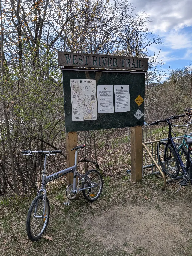
Lower West River Trail · Brattleboro, Vermont
West River Trail — Lower SectionMountain Biking · Easy · ~24 mi away

Notch · Amherst, Massachusetts
Take On the Seven SistersHiking · Difficult / repeated steep ridge climbs · ~29 mi away