

Descend to Massachusetts' Biggest Waterfall
South Berkshires / Mount Washington, Massachusetts
Activity
Hiking / Waterfall
Difficulty
Difficult / short steep rocky trail
Distance
0.6 mi round trip
Elevation gain
~300 ft
Duration
~45–75 min
Route
Out & back
The adventure
Take the short, rugged Massachusetts-side trail to the Commonwealth's largest waterfall and its emerald plunge pool.
Begin at the Upper Falls lot and descend the established trail through the steep Berkshire forest.
Steep wooded gorge within a large protected South Berkshire landscape
What you'll do
Start at Upper Falls Parking Lot, then follow the route about 0.6 miles round trip. Reach the designated waterfall viewing area from the Massachusetts trailhead and return.
Expect short, steep, rocky and uneven forest trail.
Expect roughly 300 ft of climbing along the way.
What you're looking at
- Bash Bish Falls State Park is contiguous with Mount Washington State Forest and protected lands extending toward New York.
The story of the place
The falls and surrounding landscape are sacred to Mohican and Scaghticoke peoples.
Once you're there
Park only in the 24-car Upper Falls lot on Falls Road. From the lot, take the marked trail downhill toward the falls; expect rocky, uneven footing and a steeper return than the mileage suggests.
At the bottom, remain in the designated viewing area—there is no legal route into the plunge pool, onto the falls or into the upper gorge. Retrace the same trail uphill to your vehicle.
Don't miss
On the descent, notice how Bash Bish Brook tightens into the gorge before the final dramatic drop. The waterfall starts building its case before you ever reach the viewing deck.
Good to know
- Access
- No permit or reservation requirement identified for ordinary individual day hiking.
- Best time to go
- Wet rock and winter ice can make the steep route substantially more hazardous. Seasonal maintenance or temporary closures can affect the Massachusetts approach.
- Hours
- Sunrise to sunset
- Parking
- Free; 24-car Massachusetts lot. No roadside parking.
- Restrooms
- Portable toilets are seasonally available May through mid-October.
- Ecology
- Protected species habitat, old-growth forest areas
- Hazards
- Slippery rock, steep grades, winter ice, dangerous gorge edges
- Dogs
- Pets are permitted but must remain leashed at all times.
- THE BIG ONE
- The final pitch of Bash Bish Brook drops about 60 feet into an emerald plunge pool, making this the Commonwealth's largest waterfall.
- SHORT ≠ EASY
- The Massachusetts route is only about 0.6 mile round trip, but it is the steeper and more rugged of the two established approaches.
- 24 SPACES
- Parking on the Massachusetts side is free but limited to 24 cars. Roadside parking on Falls Road is prohibited.
- OLD-GROWTH COUNTRY
- The surrounding protected landscape contains unusually rich biodiversity and areas of old-growth forest.
- Surface
- Rocky forest trail with steep grades
- Managed by
- Massachusetts Department of Conservation and Recreation — Bash Bish Falls State Park.
Please respect the place
- Remain inside the designated falls viewing area
- No swimming, diving or entering the water
- No rock climbing
- No roadside parking on Falls Road
- No access to the upper gorge from the Massachusetts parking lot
Photos
More adventures nearby
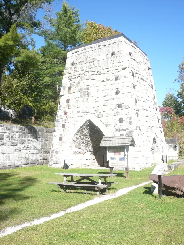
Beckley Furnace Industrial Monument · Northwest Corner, Connecticut
Beckley Furnace Industrial MonumentOther Adventures · Easy · ~13 mi away

Fog Hill Road parking area in Beebe Hill State Forest · Austerlitz, New York
Climb Beebe Hill Fire TowerHiking · Moderate · ~16 mi away
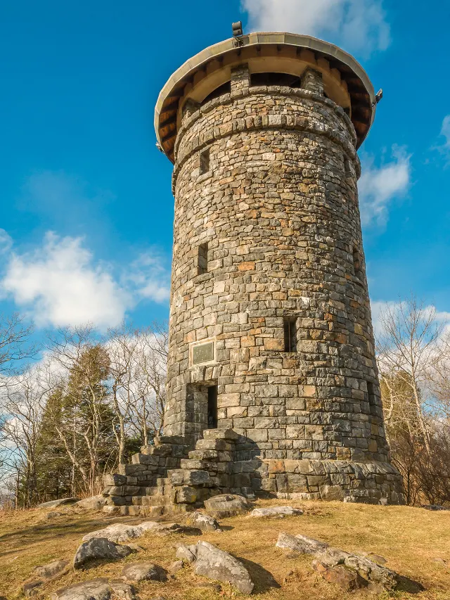
Haystack Mountain State Park Route 272 Lower · Northwest Hills, Connecticut
Haystack Mountain State Park — Haystack Mountain TowerHiking · Moderate · ~18 mi away