Bald Mountain Trail — Bennington side
Bennington / Southern Vermont, Vermont
Activity
Hiking / Mountain
Distance
7.9 mi round trip
Elevation gain
~2160 ft
Route
Out & back
The adventure
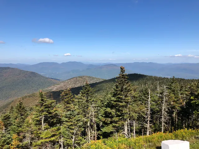
Climb from the edge of Bennington into mountain forest on a nearly eight-mile route gaining more than 2,000 feet. Leave the edge of Bennington and climb more than 2,000 feet into mountain forest to the summit of Bald Mountain.
Leave the North Branch Street trailhead and climb from the edge of Bennington into the mountain forest. Find the White Rocks viewpoint on your way up, continue to the summit area of Bald Mountain, return all the way to the same trailhead under your own power and.
What to expect
- Leave the edge of Bennington and climb more than 2,000 feet into mountain forest to the summit of Bald Mountain.
- Leave the North Branch Street trailhead and climb from the edge of Bennington into the mountain forest. Find the White Rocks viewpoint on your way up, continue to the summit area of Bald Mountain, return all the way to the same trailhead under your own power and.
Good to know
- 2,000-FOOT CLIMB
- The Bennington-side route gains roughly 2,000 vertical feet as it climbs away from town.
- DON'T MISS WHITE ROCKS
- White Rocks provides a worthwhile side viewpoint back toward Bennington before the upper mountain.
- TOWN TO WILDERNESS
- The lower trail passes beneath a highway before leaving the developed edge of town behind for mountain forest.
- USE THE LOT
- The parking lot is finite. If it's full, do not create roadside parking.
- Fee
- Free — no required entrance or parking fee.
- Entrance fee
- No trail-use or trailhead parking fee is required for this route.
- Dogs
- allowed-on-leash.
- Season
- Snow, ice and spring mud can substantially increase difficulty.
Photos
More adventures nearby

Bennington Battlefield State Historic Site main visitor parking area on Route 67 · Walloomsac, New York
Walk Bennington BattlefieldHiking · Moderate · ~7 mi away
Long Trail · Stratton, Vermont
Stratton Mountain via the Long Trail / Appalachian TrailHiking · Moderate · ~15 mi away