

Stand on Annapolis Rock
South Mountain / Washington County, Maryland
Activity
Hiking / Overlook
Difficulty
Moderate / Appalachian Trail climb
Distance
4.4 mi round trip
Elevation gain
~750 ft
Duration
~2–3 hrs
Route
Out & back
The adventure
Climb from U. S. 40 to a 1,700-foot quartzite ledge with Greenbrier Lake and the Cumberland Valley spread below.
Leave the U. S. 40 lot on the blue connector, join the white-blazed Appalachian Trail and turn north. Climb South Mountain until the signed spur pulls you out to Annapolis Rock, step onto the legal overlook and take in the westward view, then retrace the A. T. to the highway trailhead.
Forested South Mountain ridge with exposed quartzite cliff
What you'll do
Start at U.S. 40 Appalachian Trail parking lot east of Greenbrier, then follow the route about 4.4 miles round trip.
Expect forested ridge climb with rocky trail and exposed quartzite overlook.
Expect roughly 750 ft of climbing along the way.
What you're looking at
- Black Rock offers another westward overlook about one mile farther north.
The story of the place
The hike spends most of its distance on the Appalachian National Scenic Trail.
Once you're there
Park in the designated U. S. 40 Appalachian Trail lot at 11175 Baltimore National Pike—not at a farm or an attraction pin.
Follow the blue-blazed access trail to the white-blazed Appalachian Trail, turn right/north and stay on the A. T. until the signed Annapolis Rock spur.
Take the spur to the overlook, then return exactly the way you came. Black Rock is an optional extension farther north, not required for completion.
Don't miss
If your legs are still negotiating in good faith, continue about one mile farther north on the Appalachian Trail to Black Rock for a second west-facing overlook.
Good to know
- Access
- No permit or reservation identified for ordinary individual day hiking.
- Best time to go
- The trail is generally hikeable year-round, but snow/ice can make the rocky overlook and A. T. footing hazardous; summer can be hot and crowded.
- Parking
- Limited dedicated U. S. 40 lot; very crowded on weekends/holidays.
- Restrooms
- No developed restroom should be assumed at the highway parking lot.
- Hazards
- Cliff edge, rocky footing, winter ice, limited parking
- Dogs
- Pets are allowed in South Mountain State Park and should remain leashed/controlled.
- 4.4 MILES
- The official route is 2.2 miles each way from the U. S. 40 access, making the basic outing 4.4 miles round trip.
- WESTWARD VIEW
- Annapolis Rock sits around 1,700 feet and looks west across Greenbrier Lake and the Cumberland Valley.
- A.T. MILES
- Most of the mileage uses the white-blazed Appalachian Trail after a short blue-blazed connector from the parking lot.
- START EARLY
- The U. S. 40 lot is limited and is specifically noted for becoming very crowded on weekends and holidays.
- Surface
- Rocky forest trail and quartzite overlook
- Managed by
- Maryland Department of Natural Resources — South Mountain State Park / Appalachian Trail corridor.
Please respect the place
- Parking is limited and fills quickly on weekends and holidays
- Follow the blue access trail to the white-blazed Appalachian Trail
- Keep pets leashed
- Guided climbing requires separate authorization
Photos
More adventures nearby

Cunningham Falls State Park Houck Area trail · Catoctin Mountains, Maryland
Climb to Cunningham FallsHiking · Moderate / rocky mountain waterfall hike · ~10 mi away

Catoctin Mountain Park · Catoctin Mountains, Maryland
Link Chimney Rock and Wolf RockHiking · Strenuous / steep, narrow and rocky · ~11 mi away
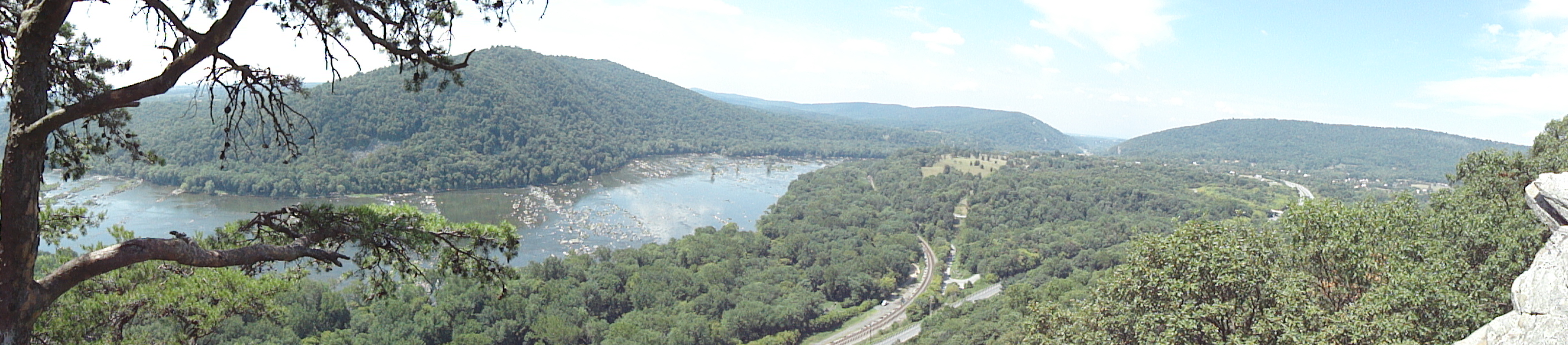
Weverton Cliffs · Western Maryland
Climb to Weverton CliffsHiking · Moderate / short steep Appalachian Trail climb · ~15 mi away